Compliance infrastructure
The Permit vs. Reality
We bridge the gap between design and reality, providing an automated compliance system that verifies construction against approved permits.
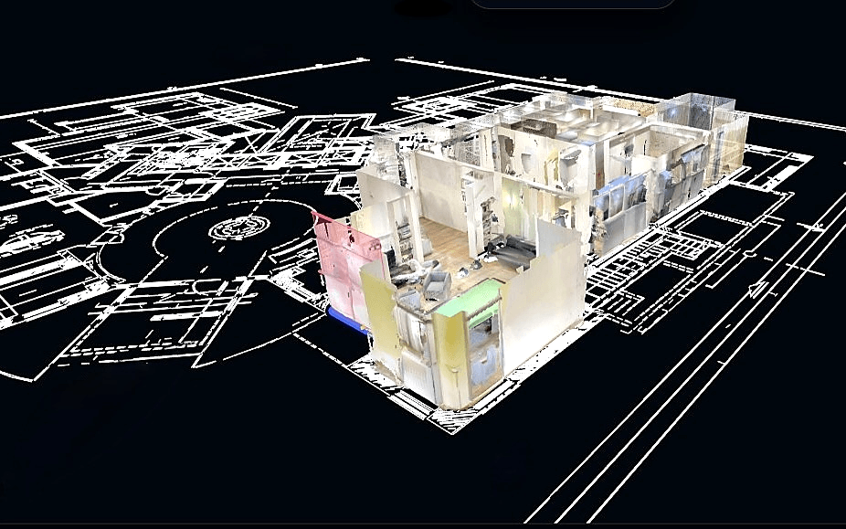
The permit. The scan. The gap.
Upload a LiDAR scan and a permit plan. Our geometric models and AI do the rest — comparing every surface, every wall, every floor against what was approved, and flagging every deviation with spatial precision and confidence scoring.
LiDAR Scan
Capture every surface, wall, and floor in spatial detail.
Permit Plan
Upload the approved design as the source of truth.
Verified Delta
Every deviation flagged with precision and confidence scoring.
No manual review. No interpretation. No ambiguity.
Just: what was built, what was approved, and the delta between them.
One engine. Every stakeholder.
Regulators
Continuous, automated compliance monitoring across an entire city's building stock.
Developers
Real-time verification at every construction phase, before a problem becomes a liability.
Banks & Insurers
Objective, documented evidence of structural compliance before capital is committed.
Smart Site Partners
Native integration with on-site scanning hardware for live, phase-by-phase verification.
We are building the data infrastructure for a transparent built world — where every structure can be verified, every deviation is documented, and the gap between design and reality is closed.